Local Expertise, From the Square to the Lake
We plan every Garland installation around the roads and neighborhoods that actually shape this city.
State Highway 78 (Garland Road, and Lavon Drive further northeast) cuts through
town from southwest to northeast, running along Avenues B and D through Downtown Garland
before continuing toward Sachse and Wylie. Interstate 635 (LBJ Freeway) runs along
Garland's western edge, and the President George Bush Turnpike arcs across the
northern and eastern parts of the city — including the stretch that crosses Lake Ray
Hubbard on its way through Rowlett and Sachse — before ending at I-30 on Garland's south side.
We've worked on century-old homes near the Downtown Garland Square, blocks from the
Big Hat sculpture at Main and Fifth and the Plaza Theatre inside the Granville Arts
Center, and on newer builds out toward Firewheel Town Center and
Firewheel Golf Park off SH 78. We've assessed lots near Spring Creek
Forest Preserve on the north side, and homes closer to the water near Lake Ray
Hubbard and Windsurf Bay Park on Garland's east side. Garland's industrial base — from the
Jupiter Miller Business Center (a former Raytheon facility redeveloped into
industrial space) to the manufacturing plants that still anchor the local economy — sits alongside
all of this residential variety, and lot sizes and foundation types shift block by block as a result.
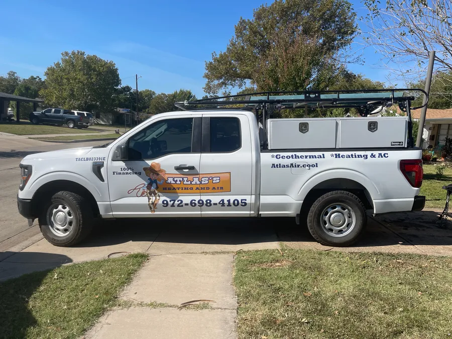
Serving Garland homes from Downtown to Lake Ray Hubbard and beyond.